The eruption of Mt. St. Helens on May 18th, 1980 caused the largest landslide in recorded history, as seen below.
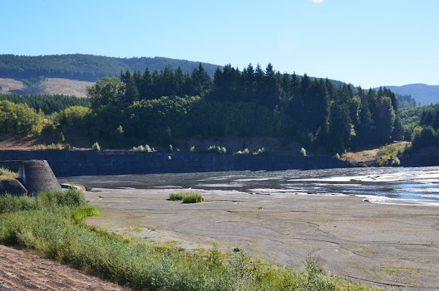
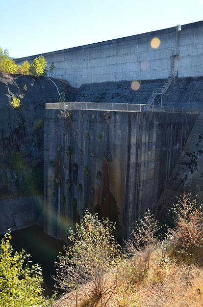
A sediment retention structure was built from 1986-1989 to capture and store the sediment and to protect downstream communities. It is 184 feet tall and 1888 feet wide. There is a loop trail that allows access to the structure, so we decided to take a hike.
A beautiful forest hike started us out.
When we left the forest, we walked across the top of the structure to see the sediment plain below.
Looking down off the the structure.
The view from down below.
We followed the loop trail the rest of the way back to the parking lot, and at the end there was a locked gate. What? There was no way to get through it, and we really didn't have time to backtrack over a mile back, so guess what? Up and over we went. When we got on the other side, the signs said something about government property...No trespassing. What? This is posted as a public trail.
Oh well, it was a fun little hike with lots of good information.


No comments:
Post a Comment