Our daughter's in-laws are into town this week to meet the new grand baby, so to give them all some family time, we will be on our own most of this week. Today we will be learning about the eruption of Mt. Saint Helens. The visitor center and other learning centers are all closed because of Covid, but we're sure that the exploring will still be great.
Our first glimpse of the famous mountain.
As we made our way up highway 504, there was a scenic turnoff for the Hoffstadt Creek Bridge. There was a great view of the bridge, but there was also a lot for information about Mt. St. Helens. This bridge lies at the edge of the May 18,1980 eruption blast zone. Everything beyond this point was destroyed. This bridge is 600 ft. long and 370 feet tall.
Much of the forest was cleaned up and has been replanted by Weyerhauser over the years since the eruption.
After leaving the bridge overlook, we continued to make our way toward the mountain. This valley is a sediment plain caused by the eruption. Even 40 years later, there is still sediment flowing from the eruption zone.
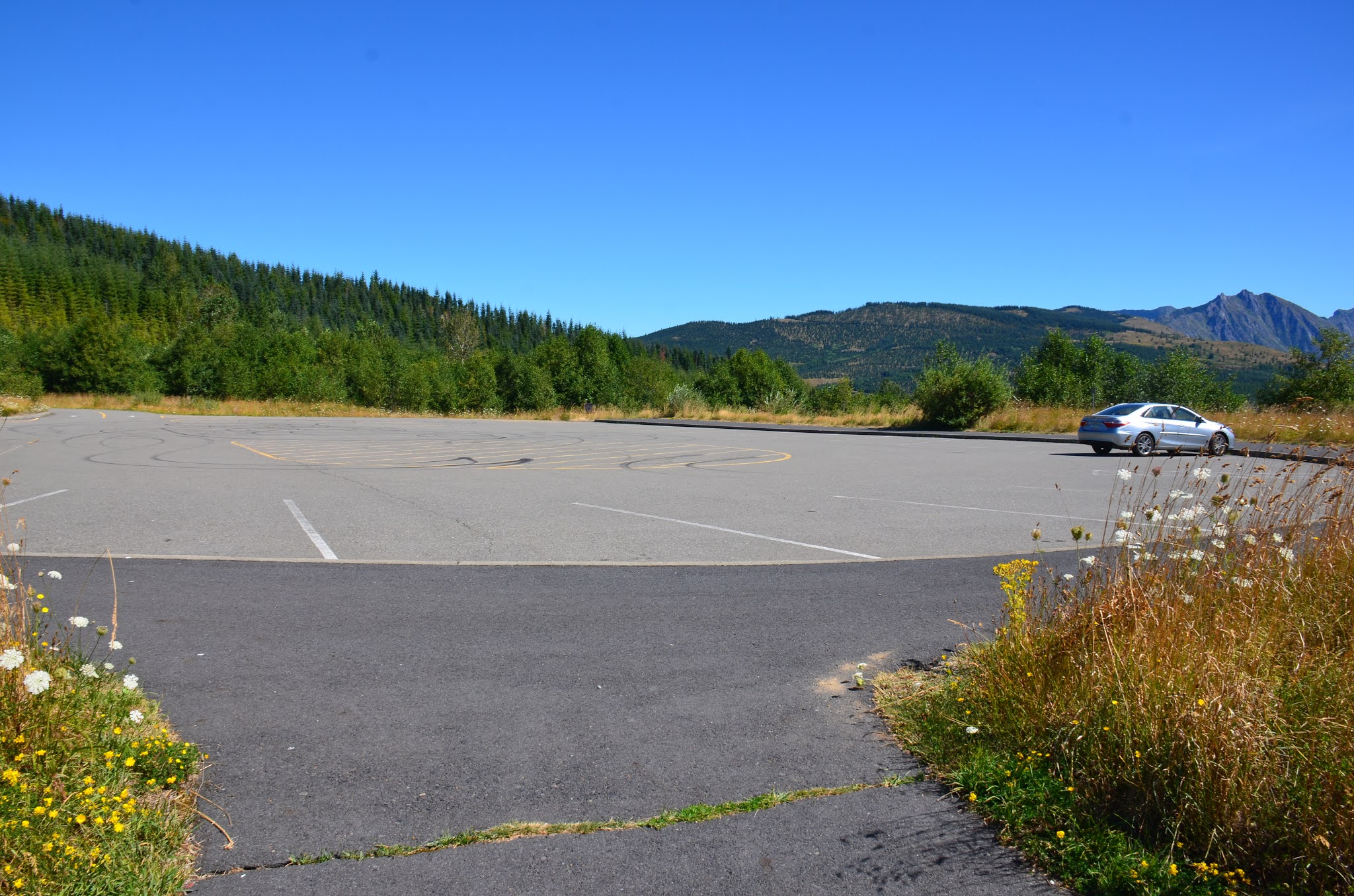
As we stopped at the overlooks, we were amazed that we were often the only car in the parking lots.
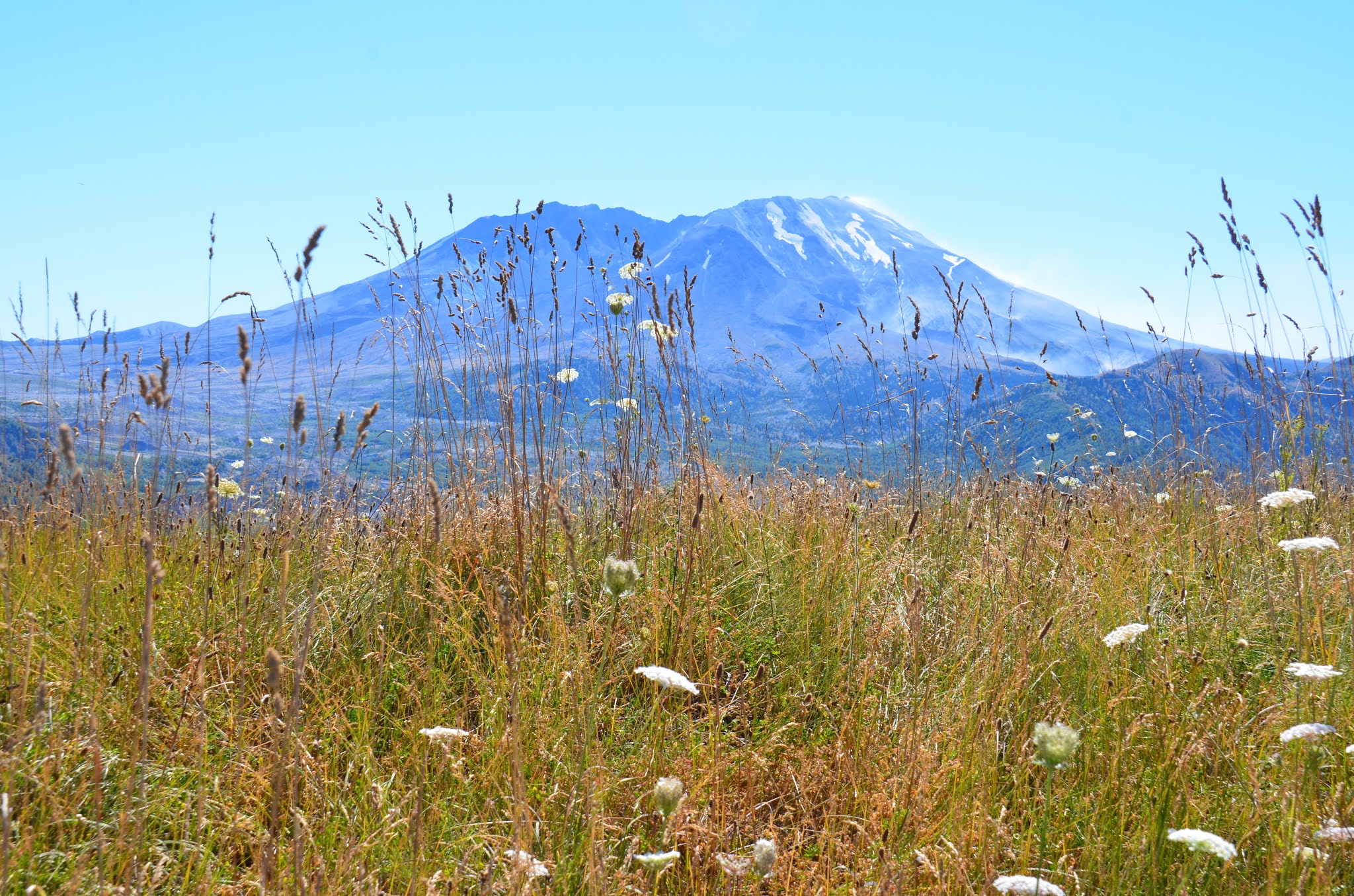
The 1980 eruption of Mt. St. Helens blew out the north side of the mountain. If you look closely, you can see the steam that still comes out of the west side of the volcano.
The closer we got, the more beautiful it became!
When Mt. St. Helens erupted, it threw ash and debris for miles, blocking river and changing the landscape. This picture shows Castle Lake, one of the lakes created by the eruption.
Even though the visitor's center and learning centers are closed, there is so much information at every stop.
Again, we are the only car.
We stopped at Coldwater Lake for lunch, and there were some other people enjoying the lake, but still not many. This is another of the lakes that was created by the 1980 eruption of Mt. St. Helens.
As we got closer to the mountain, it took us back in time. It has not been re-planted or cleaned up since the eruption. The trees that were sheared off from the blast were carried miles, and now remain where they landed. The stumps are still there as a reminder of the force. Regrowth is minimal.
The area north of the immediate eruption zone is now a baren sediment plain, even after 40 years.
Elk on the plateau below us. Wildlife is starting to come back to the area.
Mount Saint Helen's before and after the eruption. The mountain lost 1300 feet of altitude.
And as everyone know, Washington is Sasquatch country, so you should always be on the lookout!


Do you remember the ash came all the way to Colorado?! Are you going to Mt Rainer? One of my favorite places. My aunt and Uncle used to live in Morton, WA
ReplyDelete